

Note: There are some links to PDFs on this page that might not be accessible to screen readers. For an accessible version, contact ERI at eri@iu.edu or 812-855-8539.
Mapping for environmental justice
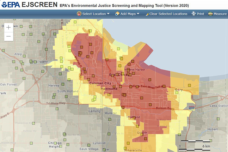
Environmental justice maps are important tools that can empower individuals, government agencies, nonprofit organizations, and other users with demographic and environmental information about communities and provide key contextual data about the places affected by government and private actions.
As part of an effort to evaluate how Hoosiers might benefit from such a tool, IU researchers conducted a review of federal and state environmental justice mapping tools used across the country. The resulting report, "Mapping for Environmental Justice: An Analysis of State Level Tools," summarizes existing practices with respect to mapping platforms, data, methodologies, and other dimensions for 19 federal- and state-level tools and outlines key questions for any developer of an environmental justice mapping tool to consider.
Research Team
- David Konisky, O’Neill School of Public and Environmental Affairs
- Daniel Gonzalez, O’Neill School of Public and Environmental Affairs
- Kelly Leatherman, O’Neill School of Public and Environmental Affairs
This project was funded by IU's Racial Justice Research Fund.
