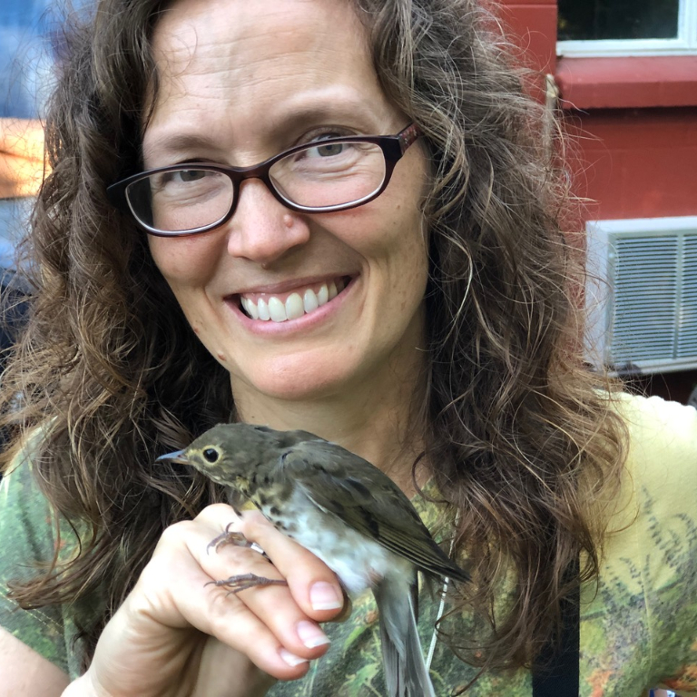
The IU banding station is a part of MAPS, the international Monitoring Avian Productivity and Survivorship program run by the Institute for Bird Populations. IU's MAPS banding station is at Kent Farm, part of the IU Research and Teaching Preserve about seven miles east of Bloomington. The MAPS station is sponsored by the Movement Ecology working group, one of six working groups at the Environmental Resilience Institute.
Spanning nearly three decades, the MAPS program has grown to over 1,200 stations throughout nearly every state, including more than 30 stations in Indiana. Through standardized collection of longitudinal data and a software program designed specifically for the project, the MAPS program provides a vast amount of data on birds banded across North America, which can be used freely by researchers. The MAPS database, which includes more than 2 million birds, has been used as a resource in over 100 peer-reviewed papers and agency reports.
These stations are run primarily by volunteers who have a passion for birds, adventure and citizen science projects. Cusack and her husband, Sam, volunteered at several MAPS stations and other bird banding projects in the New Orleans area before moving to Bloomington as Hurricane Katrina evacuees. Their friendship with Ketterson gave them additional experience and training, as well as a banding sub-permit for Eve, leading the couple to run IU's MAPS station.


