To start, Commission staff conducted an intensive literature review. They looked at Dr. Tiner’s functional assessment approach in Northeastern US wetlands. They also looked at regional iterations of the criteria developed for Midwestern states by agencies such as the Michigan Department of Environmental Quality and the Wisconsin Department of Natural Resources with The Nature Conservancy.
After the Commission understood how wetlands evaluation was conducted in other locations, they convened a group of local and regional experts to form a technical advisory group. As a multidisciplinary group, its members held expertise in wetlands and water resource areas such as fish and wildlife, soils, water, and in planning, engineering, and GIS mapping disciplines. In total, there were 13 members. The technical advisory group advised the Commission and guided the remainder of the project. They selected which functions would be evaluated for wetlands and water bodies in Lake County. The following functions were included:
- carbon sequestration
- flood water storage
- native fish habitat
- nutrient transformation
- sediment and other particulate retention
- shoreline/streambank stabilization
- stream baseflow maintenance
- stream shading
- unique wetland resources
- waterfowl habitat
- wetland-dependent bird habitat
- wildlife movement corridors
- woodland amphibian habitat
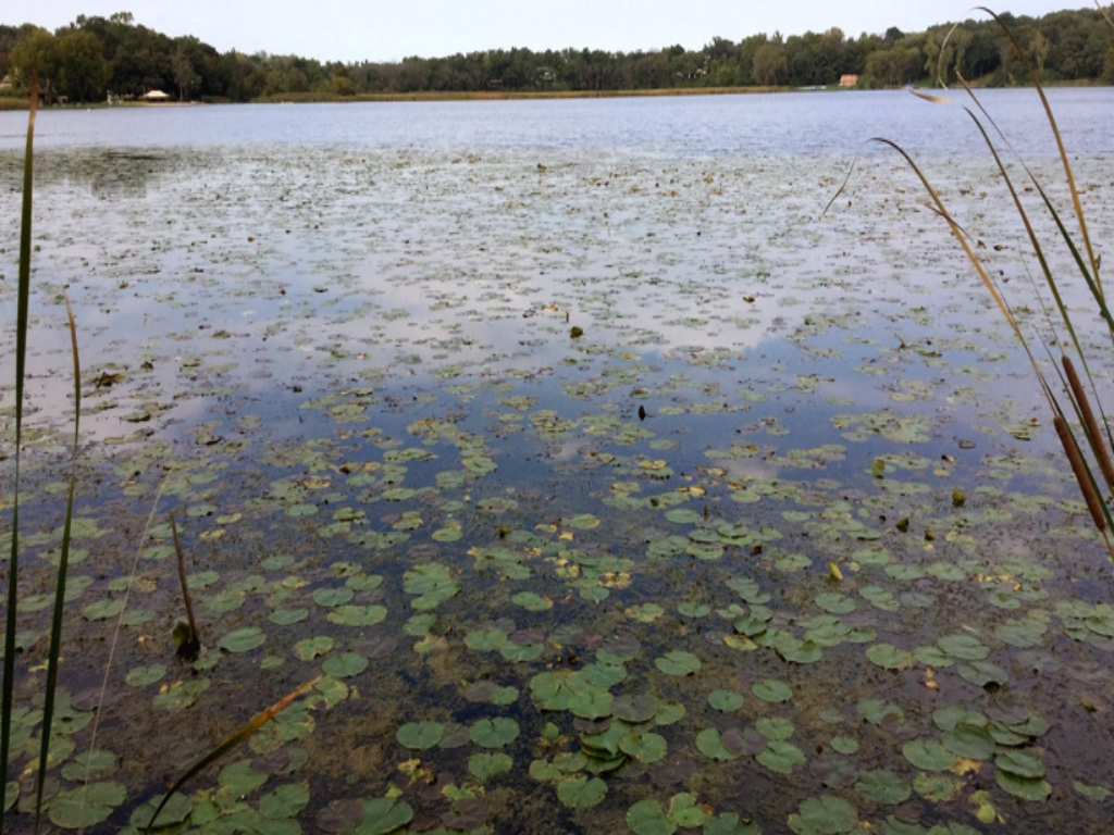
Even before the Commission established the technical advisory group, they began to enhance data from the 2002 Lake County Wetland Inventory. The 2002 Inventory generally mapped locations of wetlands in Lake County, but it was out of date and/or did not reflect the most recent state of development in the county. It also did not include the attributes or classification data needed to evaluate the selected functions. The Commission updated and enhanced the Inventory and also created a historic wetlands/waters dataset. The Commission then applied the two classification systems to both the current and historic datasets and ran a desktop assessment based on Dr. Tiner’s approach to determine the preliminary levels to which the wetlands and waters supported the 13 various functions.
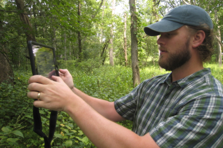
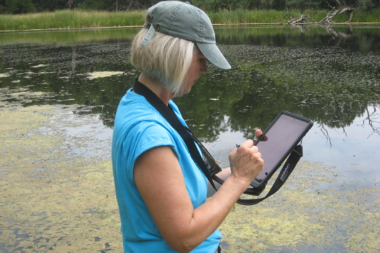
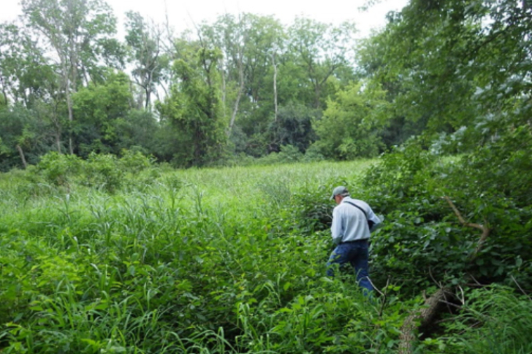
After this initial assessment, Commission staff conducted random field assessments to see if the functions reflected what was happening in the field, which was something that previous studies of this type had rarely done. The Commission, along with various technical advisory group members, examined 45 randomly selected wetlands and water bodies spread across four major watersheds in the county for aspects of the criteria they developed to evaluate the accuracy of their original assessment. The Commission developed and used a data entry form on electronic tablets to record site observations and mark if what they had developed matched what was happening in the field. The Commission then suggested revisions or refinements to the criteria for various functions to better align the tool with actual field conditions.
Once the maps were updated and the field studies had been conducted, the Commission reanalyzed the existing and historic data sets to determine the benefits of each wetland and water body. The results were put into a publicly available online mapping tool, which is designed to allow a wide audience of end-users to plan potential wetland restoration and preservation projects.
Throughout the process, the Commission collaborated with multiple groups including local, state, and federal agencies in addition to the members of the technical advisory group. Collaboration came from local forest preserves, planning and development agencies, the county’s GIS division, Illinois Department of Natural Resources, USEPA, USDA, and more. Collaborators provided insights and supported the field assessment by providing permission or access to sites. Some of the collaborators also participated in the site visits.