Anthropogenic Impacts on the Indiana Hydroscape and Landscape, 1700 to Present

The Problem

Humans have extensively modified Indiana’s landscape to produce the food, fuel, and fiber necessary for modern society, altering the environment over centuries—from the scale of individual farms to entire river basins. Observers can see the results of these modifications, but documentation of the human changes that created Indiana’s current hydroscape and landscape is scattered across a wide range of sources.

The Project

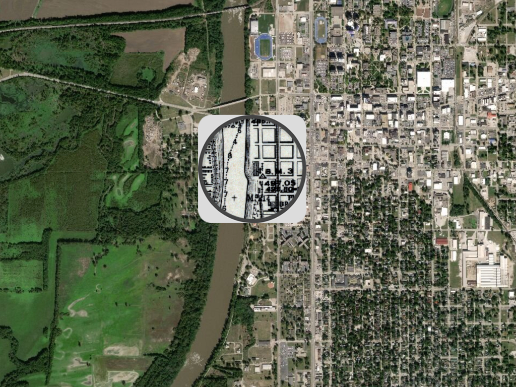
IU Associate Professor Rebecca Lave and Adjunct Professor John Baeten worked to acquire, digitize, and map these archival materials—ranging from General Land Office field notes, to Army Corps of Engineer surveys, to US Patent and Trademark records—in a publicly accessible format that tells the story of Indiana’s development into an agricultural powerhouse.

To conduct this work, the team established an interdisciplinary research hub, the Historical Landscapes Laboratory, focused on the environmental and spatial history of Indiana. Lab members include undergraduate research assistants who are trained to identify, analyze, and integrate historical data into geospatial applications.

With ERI’s support, the lab produced multiple interactive story maps, including:

The Path Forward

The environmental histories captured in this project provide rich snapshots that can enhance Hoosiers’ understanding of how Indiana’s contemporary landscape developed, and inform decision making. For example, the 1914 reconstruction of the Lower Wabash River floodplain provides a baseline for the landscape that can be used to plan wetland restoration for flood control and nutrient retention purposes.

Furthermore, the interactive story maps provide educational value and insight into how Americans thought about and managed the land in the 19th and early 20th centuries, revealing the process by which a country was colonized  and drained for human purposes.

Updated March 8, 2021

Project Data

The Historical Landscapes Laboratory team members gathered historical data from a range of sources, including the General Land Office, the Army Corps of Engineers, and the US Patent and Trademark Office, to create their interactive web pages.

The methods for collecting and representing the data for each story map differs for each piece. For example, to create the Lower Wabash River floodplain story map, the team acquired historical survey maps of the area and then digitally reconstructed them in a Historical Geographic Information System (HGIS) using a drawing tablet and stylus. Other maps, such as a map containing information for more than 1,250 US drainage patents, were created by manually searching and digitizing archival reports and then mapping these patents to understand the social landscape of the North American Drainage Enterprise.