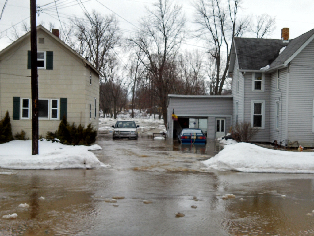
Huntington County started the planning process by looking at what their peers had done. The County reviewed a flood plan developed for Columbus, Indiana, and they decided to use it as a framework.
The County hired an engineering firm to assist in the plan’s development. The consultant was responsible for facilitating a committee made up of staff from the county, cities, and towns that work on flood planning and emergency management. The consultant also made sure that the plan framework would include a standard operating procedure that anyone could implement, even if they were not intimately involved in the creation of the plan.
After the framework was established, the committee tasked the involved departments with specific assignments to investigate for the various jurisdictions. This information included historical data on flooding, response operations, emergency management procedures, and GIS mapmaking. Departments also determined what areas would be impacted by flooding at various stages and identified hotspots and low-lying areas of concern.
When going through the background information, each department examined their existing flood response plans and reported out what they could do during a flood. This process helped the committee determine who would be responsible for what while ensuring the response activities were synergistic instead of duplicative.
The committee used multiple federal services to develop their event detection and classification framework. These services include the National Oceanic and Atmospheric Administration’s Advanced Hydrologic Prediction Service and the United States Geographical Survey’s stream gauges for monitoring. They also created custom alerts through these services to notify the appropriate managers when conditions reached different flood stages.
The committee then completed an inventory of resources that could be used for flooding events. They created a list of community and Red Cross shelters that people could access and made school buses available to transport residents to and from the flood shelter during certain flooding stages. They also created a contact list of all the necessary people that would be involved in a flooding event.
Once the committee had all the information, they created a flow chart with all the data for the decision-making process. The flow chart contains different action plans depending on the severity of the flood and the conditions that trigger each of the plans. Each plan includes a flow chart that provides processes to follow, who to contact, and what communications need to be sent out to the public. The action plans also include information for the planning stages, implementation during the flood event, and what to do after the event. There are also contingency plans built in for potential problems, including when certain routes need to be diverted and alternate shelter locations.
Funding
The development of the plan cost $25,934. The funding came from the County’s budget.
Timeline
The plan was developed in six months. Since the plan is a living document, it also has annual time frames for testing the plan and updating it as needed.


